Built independently in Switzerland
The Swiss guide
I kept looking for.
I’m Corsin. I built Swiss Trails to bring photographs, map points, practical details and original sources together without pretending every unknown is a fact.
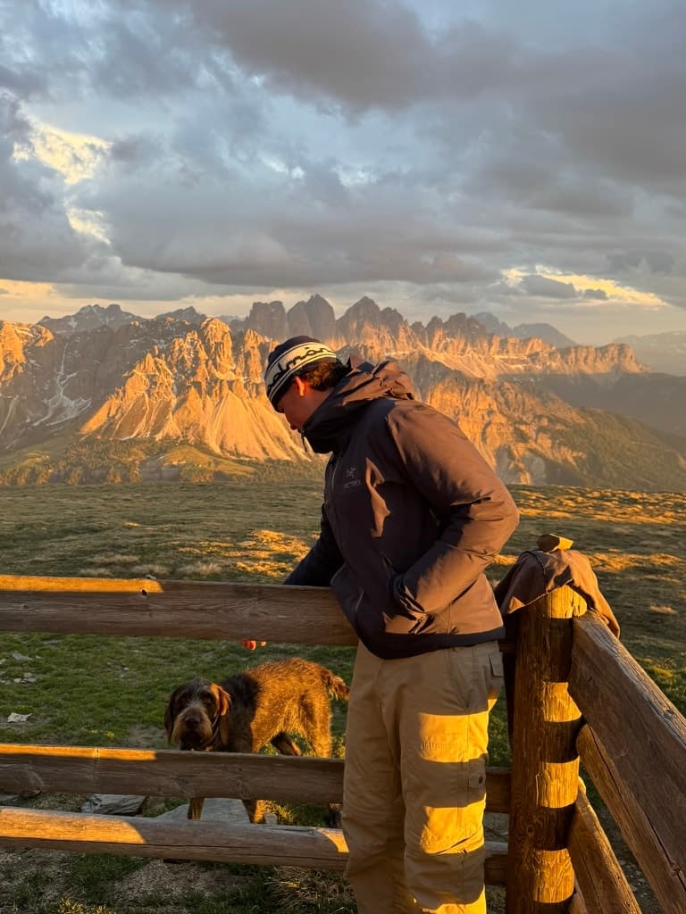
I’m 19, Swiss, and building the outdoor guide I wanted to have.
I’m Corsin Curtins, the creator and editor of Swiss Trails. I started this project because I love being outside, but I kept finding beautiful places online with photographs that did not match, vague map pins or practical details I could not trust.
My goal is simple: build a smaller Swiss guide that is genuinely useful. I would rather publish 100 carefully presented places than fill a database with 500 vague ones. I keep original sources visible, record when information was checked and leave uncertain details clearly marked.
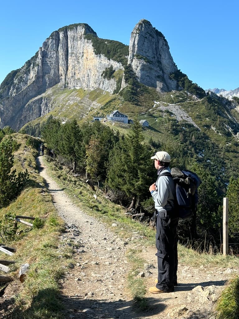
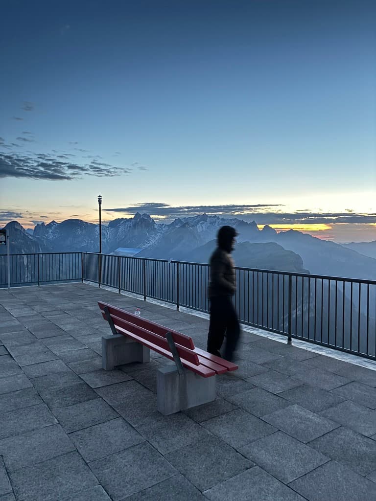
I’m still learning and improving the guide place by place. These photographs show me outdoors, but they are not a claim that I have personally walked every route in the catalogue. If you notice something that has changed, you can write directly to me.
Show the source
Names, map points and practical claims should lead back to something you can check yourself.
Leave honest gaps
A destination pin is not automatically a trailhead. If a detail is unresolved, I say so instead of filling the space.
Make it more personal
As I revisit places, I’ll add my own photographs and field notes alongside the licensed location imagery already in the guide.
See it. Plan it. Go.
From inspiration
to the trail.
Each place brings the useful details together, so you can quickly decide whether it suits your day, your experience and the current season.
Choose a place
Browse real lakes, viewpoints, waterfalls and trails across Switzerland.
Check the essentials
See the route, difficulty, season, access notes and original sources before you leave.
Save your favourites
Keep the places you love together and turn them into your next weekend outdoors.
Take it with you
Use the guide on your phone and add it to your home screen for quick access.
Bern · Moderate access
Oeschinensee
Upper path
30 min
Elevation
1,578 m
Map point
Lake centre
Choose your landscape
A different Switzerland,
every weekend.
From a mountain lake to a city landmark, the collection is organised around the kind of place you want to understand and visit.
Alpine Lakes
Lake destinations with the water body kept separate from unverified access points and parking.
Viewpoints & Heritage
Named viewpoints and mountain destinations with honest map-point explanations.
Waterfalls & Gorges
Waterfalls and river-cut landscapes with source-linked map points and current access notes.
Valleys & Curiosities
Alpine valleys, forests and distinctive outdoor places that reward a slower journey.
Every destination needs a source trail; richer logistics and photography are added only after they pass review.
100
Published destinations
381
Credited location photographs
8
Separately verified access points
22.08.26
Latest editorial check
Lifetime access
Buy the guide once.
Help me keep improving it.
Your purchase supports the time it takes to research, correct and maintain an independent guide. There is no subscription or recurring charge.
One-time payment · Access for life
- Access to 100 source-linked destinations
- 8 separately verified access points; unresolved starts are labelled
- New places only after documented source review
- Works on all devices — mobile & desktop
- Save favourites & plan adventures
- No subscription. Ever.
- Access for life
Secured by Stripe · 14-day voluntary refund policy
Edited by Corsin: corrections and honest feedback are welcome
FAQ
Questions?
Answered.
Straight answers about the guide, its sources and what your purchase includes.